
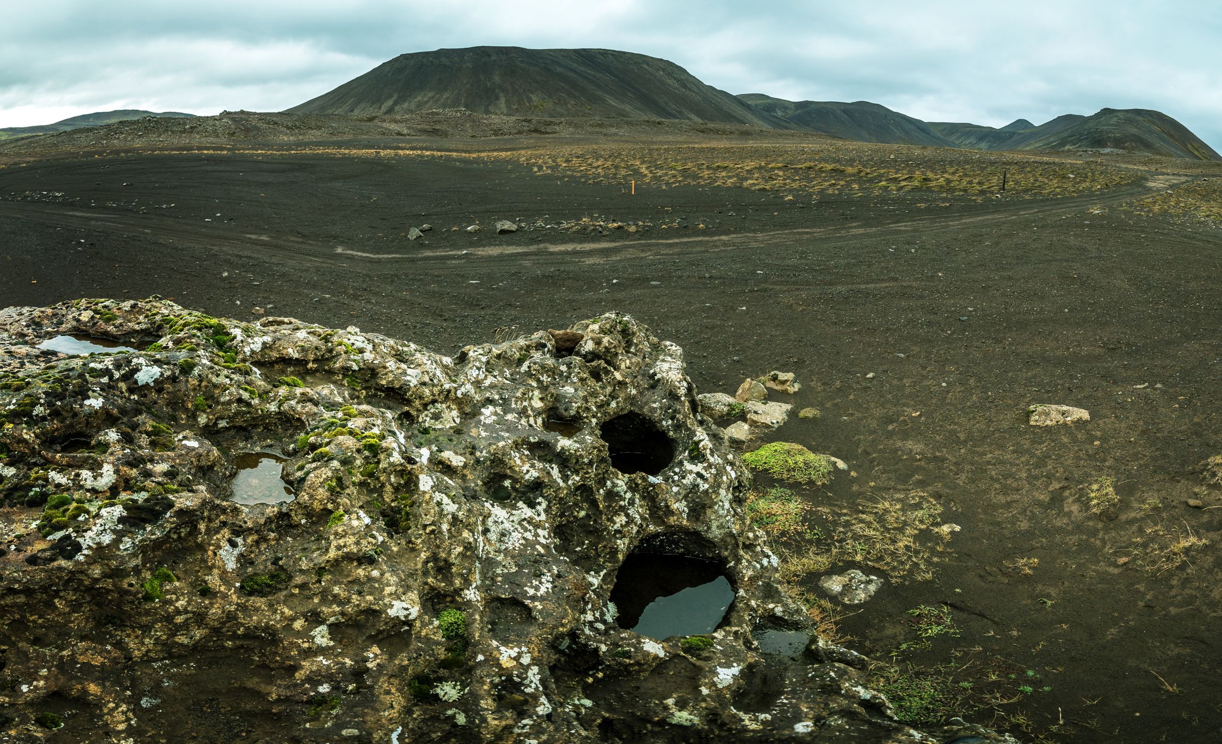
A large rock at the old track between Krýsuvík and Grindavík, The Rock of Drinks. It has three holes,...
Difficulty
Walking Distance

length
1 km

difficulty
Easy
difficulty
Easy
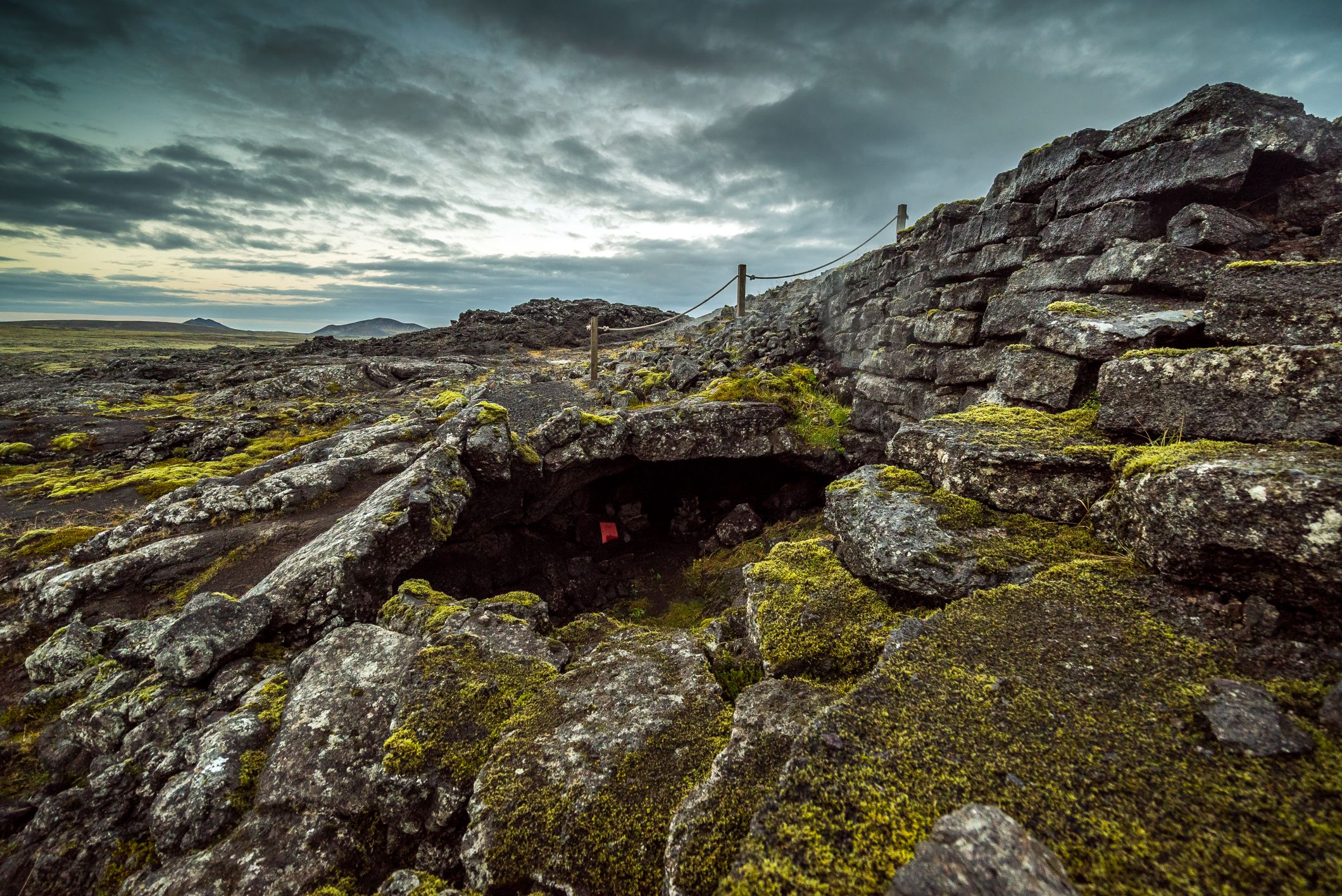
Remains of human activities in the Eldvörp lava flow; three paths represent old trading and communication routes and ruins...

difficulty
Easy
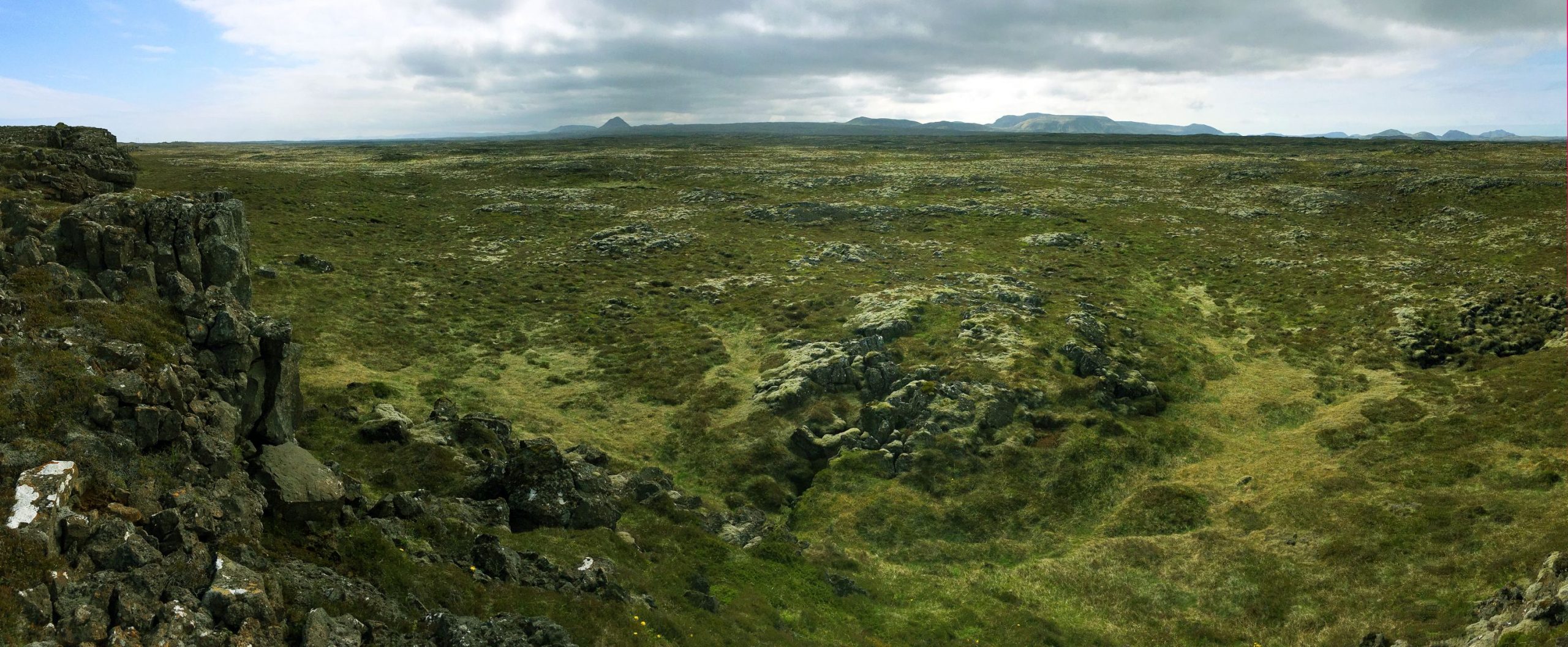
A symbolic footbridge, The Bridge Between Continents, spans a wide tension crack that opened up due to the divergent...
length
1 km
difficulty
Easy
The normal fault and tension fracture, Hrafnagjá, is the longest of its kind at the Reykjanes Peninsula, 12 km...

difficulty
Easy
Two parallel volcanic fissures on Reykjanes. Both are lined with numerous craters. The older row is 1,800 to 2,000...
difficulty
Easy
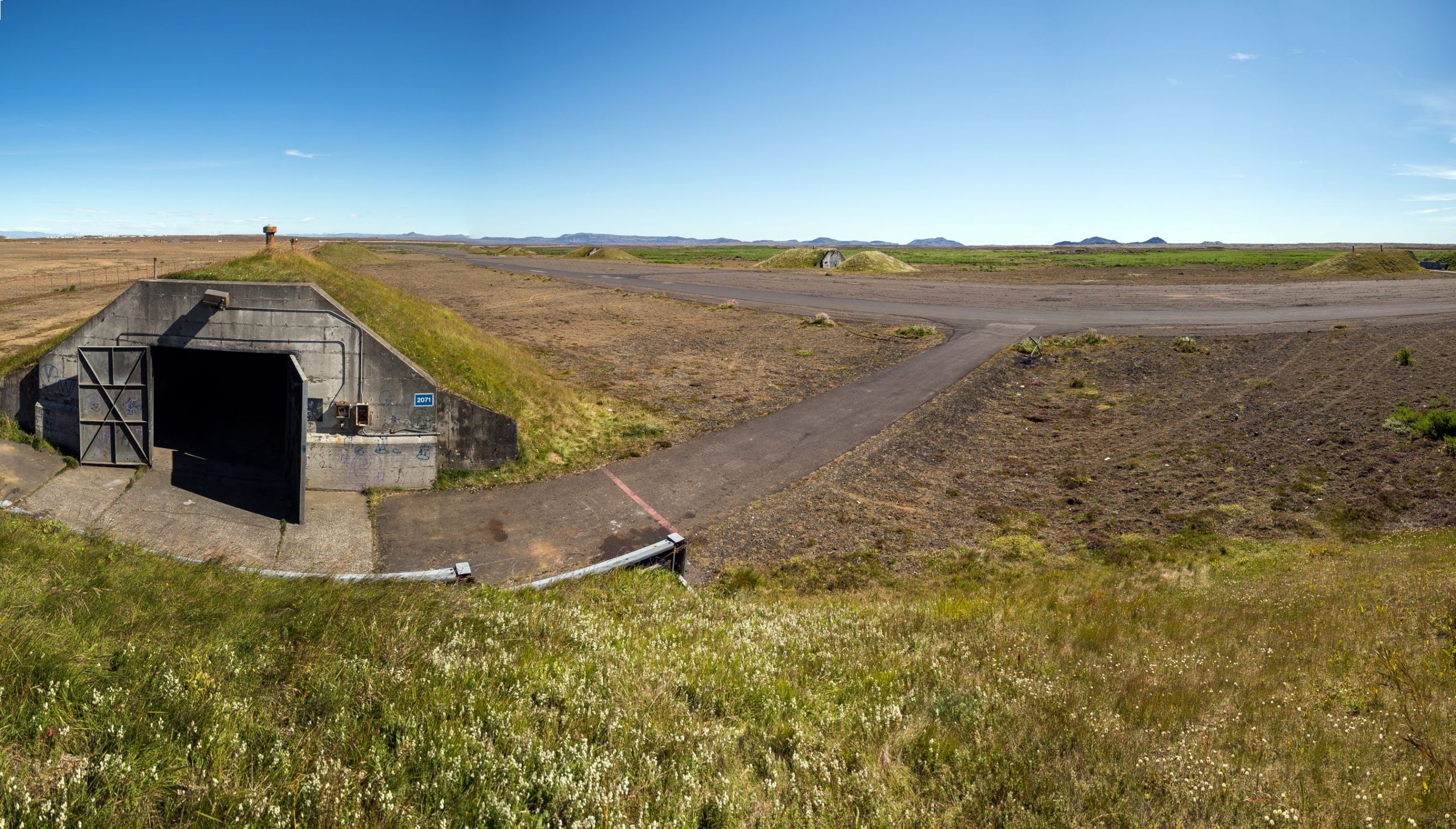
The Patterson-airstrip was built on consolidated marine sediments with subfossil marine molluscs. The most common species is blunt gaper...