
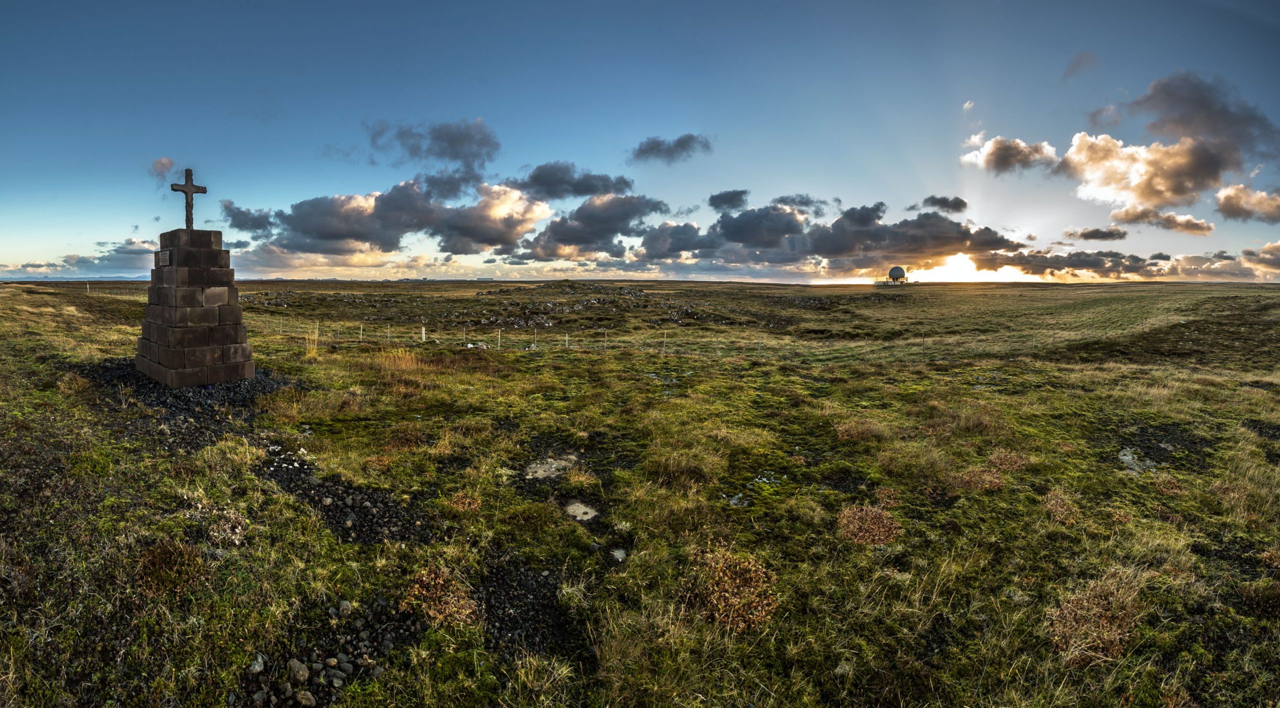
A large flat area that represents the oldest part of the Reykjanes peninsula. The topmost bedrock is heavily eroded...
Difficulty
Walking Distance

difficulty
Easy

length
4 km
difficulty
Easy
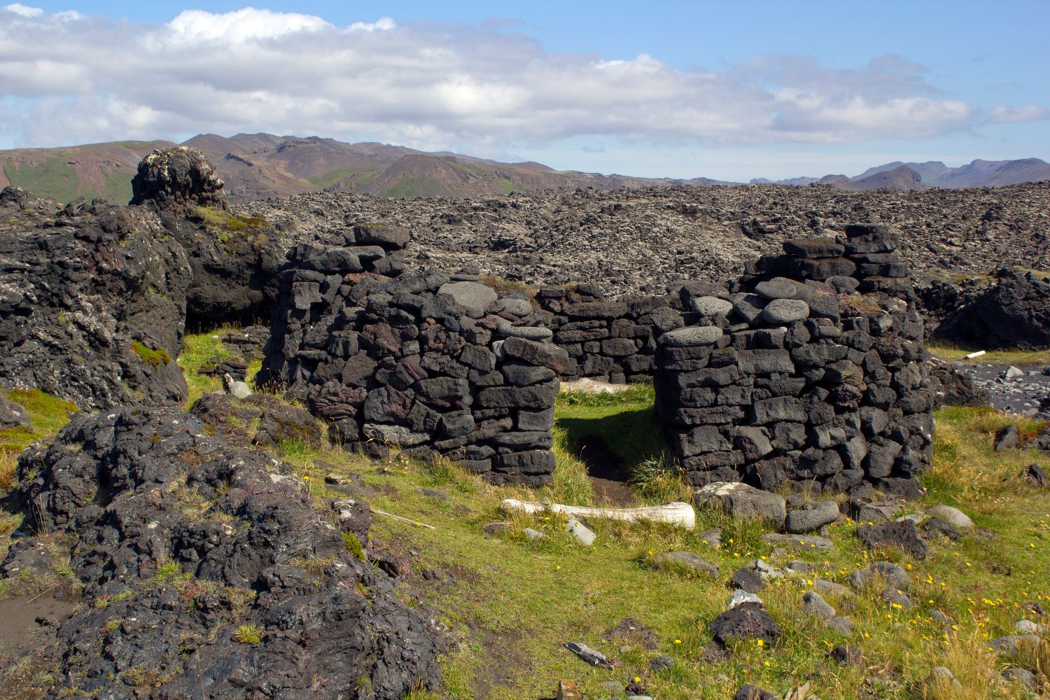
Low-rise seashore lava spits with ruins of a seasonal fishing station (for open rowing boats). The fishermen´s huts and...

difficulty
Easy
A rocky inlet adjacent to the old hamlet of Hafnir with its newly excavated pre-settlement ruins of a Norse...

difficulty
Easy
A stack of bedrock layers including lava flows, palagonite tuff, tillites, interbeds and erosion planes. Méltunnuklif contains several pages...
length
more
difficulty
Average
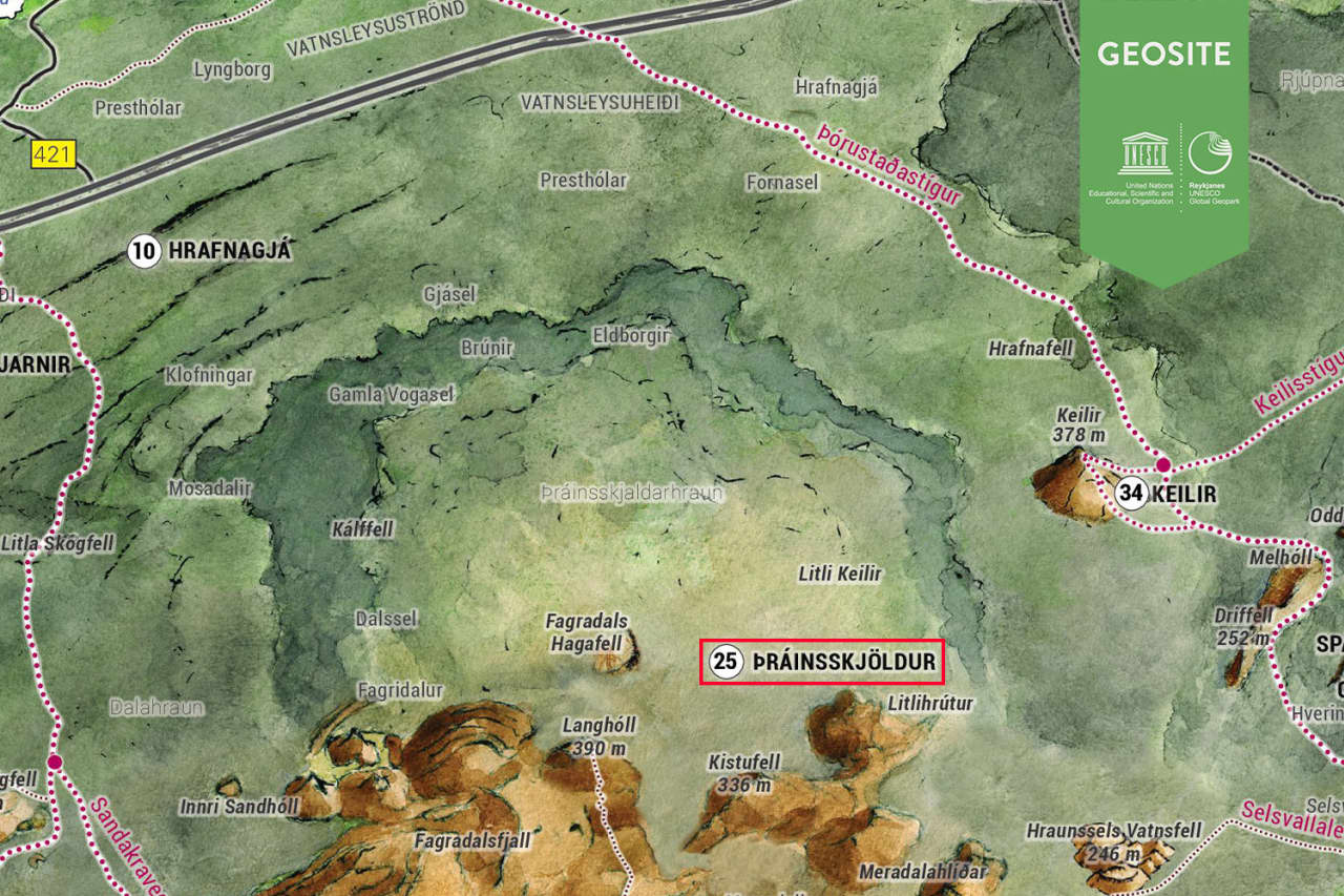
A very large, flat lava shield, visible from the road to the Keflavik Int. Airport. The road cuts through...

length
4 km
difficulty
Average
A small, flat lava shield with a large, 20 to 25-m-deep crater. At least 9,000 years old, it was...