
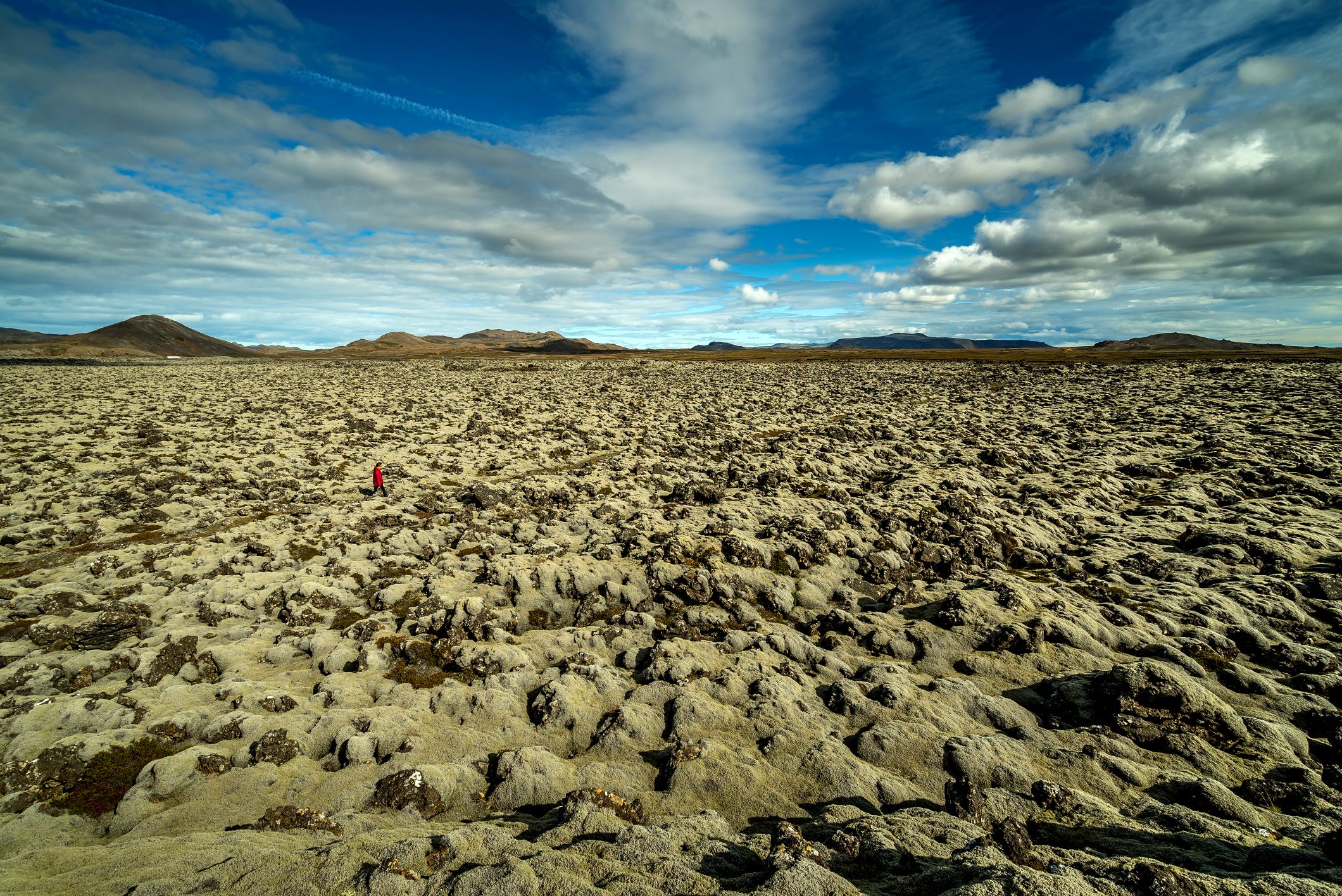
A lava flow from 1151, formed during the volcano-tectonic Krýsuvík Fires (1151-1180). A tale of the berserkur Ögmundur relates...
Difficulty
Walking Distance

difficulty
Easy

length
4 km
difficulty
Easy
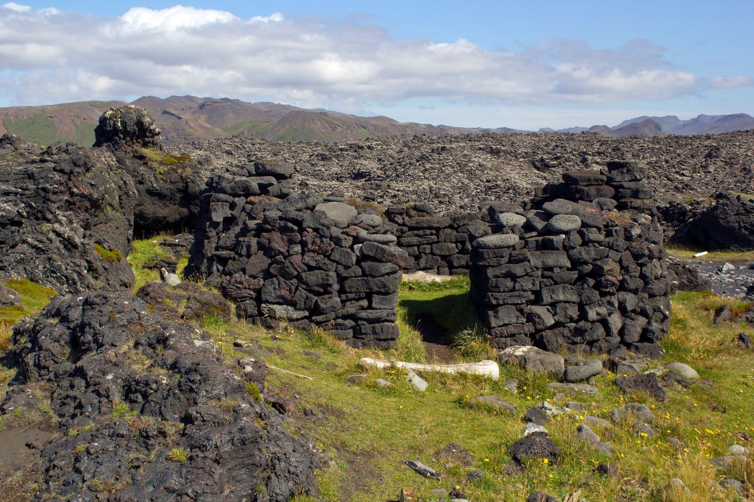
Low-rise seashore lava spits with ruins of a seasonal fishing station (for open rowing boats). The fishermen´s huts and...

length
4 km
difficulty
Average
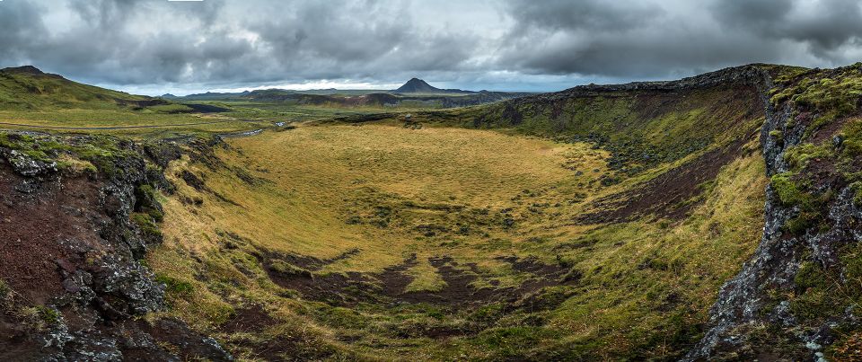
A small, flat lava shield with a large, 20 to 25-m-deep crater. At least 9,000 years old, it was...
length
3 km
difficulty
Easy
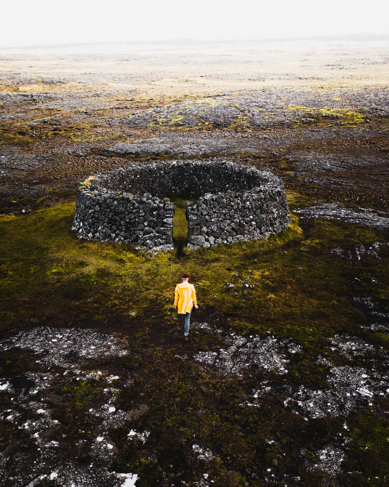
An isolated sheep shelter. It is rounded but without a roof, over 2 m high, 8 m in diameter,...
difficulty
Easy
Ruins of a shieling (a hut used during the pasture period for the sheep) close to Grænadyngja and Sog....

length
2 km
difficulty
Easy
A free-standing, hyaloclastite mountain north of Grindavik. It is split by fault lines that create a shallow valley (graben)....