Our Geosites

Reykjanes UNESCO Global Geopark is an area of 829 square kilometers, 0.85% of Iceland. There the Mid-Atlantic Ridge rises above sea level. Various forms of volcanic activity that has shaped the peninsula for a long time. In the Geopark it’s easy to find geothermal activity and see the shaping of different landscapes, hundreds of different craters, caves and lava fields, a variety of bird life, astonishing cliffs, high geothermal activity, and black sand beaches.
The Geopark and its hiking trails are accessible all year round.

Difficulty

Walking Distance

Search
24_Sveifluháls
length more
difficulty Average
Sveifluháls
One of the largest multi-summit hyaloclastite ridges in the Geopark. It is interesting for its variety of hyaloclastite formations;...
44_Þorbjarnarfell6_Þráinn-vefur
length 2 km
difficulty Easy
Þorbjarnarfell
A free-standing, hyaloclastite mountain north of Grindavik. It is split by fault lines that create a shallow valley (graben)....
33_Húshólmi
length 2 km
difficulty Easy
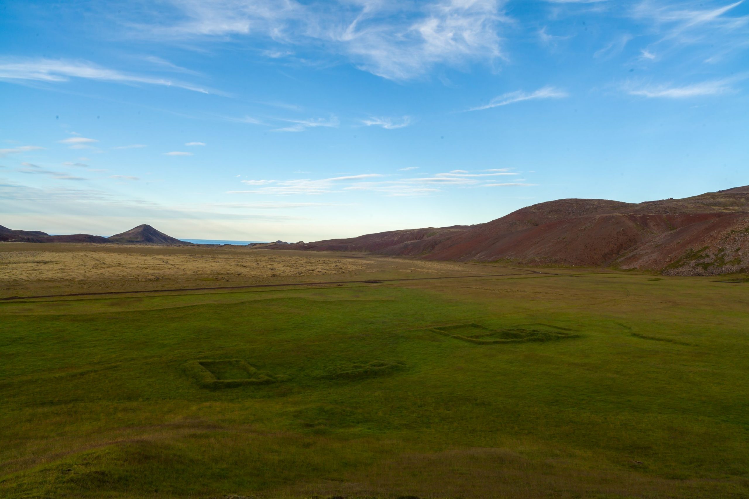
Húshólmi
A clearing (kipuka) over which the lava Ögmundarhraun didn´t flow during an eruption in 1151, with remains of farm...
51_Skagagarðurinn
difficulty Easy
Skagagarðurinn
Remains of a wall from the early Commonwealth period (870-1000 AD). The wall served to separate livestock from fields...
40-c_Seltjörn
difficulty Easy
Snorrastaðatjarnir / Háibjalli
Háibjalli is a 10 m high normal fault next to the ponds of Snorrastaðatjarnir. The location is rich in...
13_Hvassahraunskatlar
length 1 km
difficulty Easy
Hvassahraunkatlar
Hornitos in the Hrútagjá lava shield flow. Hornitos usually form due to powerful degassing at crater edges. These ones,...